 Phu Sa Dok Bua National Park


112 view · 21 Feb 2024
#Thailand#Mukdahan#Don Tan#Attraction
Phu Sa Dok Bua National Park is on the boundary line of three provinces, including Mukdahan(Nikhom Kham Soi District), Yasothon(Loeng Nok Tha District), and Amnat Charoen(Chanuman District, and Senangkhanikhom District). It is approximately 231 square kilometers.
In the past, around 1965 - 1982, this fertile forest area used to be a hideout of communist terrorists, a horrible force in the country, so no people entered that area. After the terrorists gave up, the situation was better. Therefore, the authorities allocated arable land to the villagers in Ban Nom Klao, Bung Kha Subdistrict, Loeng Nok Tha, Yasothon, and Ban Phu Pha Hom, Lao Mi Subdistrict, Don Tan, Mukdahan.
After that, there were many problems in the forest area including capturing, invading, clearing the forest, and illegal deforesting. The authorities were afraid these problems would spread out. In 1982, the Don Tan forest department proposed Mukdahan Province and Loeng Nok Tha Forest Department collected information about Phu Lam Klang, Phu Sa Bua, and Phu Pha Taem, to report the matter to Yasothon Province to organize the area as a tourist attraction with many appropriate reasons. It was beneficial to preserving this forest as a national treasure for future generations. It is also a place of recreation for the villagers and other visitors.
Therefore, National Park Division had surveyed seriously in 1988 and established the area as a national park in 1989. A royal decree specified the land of Dong Bang-I Forest, the third and the fourth plot in Dong Yen Subdistrict(Mueang Mukdahan District), Na Udom Subdistrict, Nikhom Kham Soi Subdistrict, and Chok Chai Subdistrict(Nikhom Kham Soi District), and Lao Mee Subdistrict, Pa Rai Subdistrict, and Ban Bak Subdistrict(Don Tan District, Mukdahan), Dong Bang-I Forest in Kut Hae Subdistrict and Bung Kha Subdistrict(Loeng Nok Tha District, Yasothon), Dong Bang-I Forest on the left side of Huai Thom in the Kham Khuean Kaeo SubdistrictChanuman District, Ubon Ratchathani), and Dong Hua Kong forest and Dong Bang-I Forest In Senangkhanikhom subdistrict, Phon Thong subdistrict, Nong Hai subdistrict(Senangkhanikhom district, Ubon Ratchathani). These were announced in the Government Gazette dated December 30, 1992, it was the 75th National Park of Thailand.
Topography
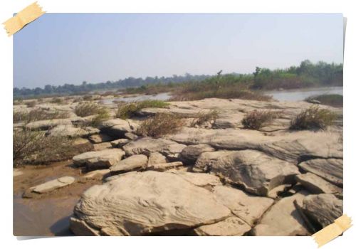
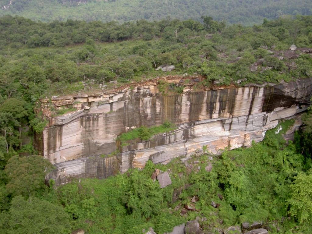
The area of complex mountain ranges extending from the north down to the southeast with fertile forests. There are many large stone courtyards, the local people call "Dan" on various mountain peaks. The highest peak is Phu Krasa, about 481 meters above sea level, while other peaks have an average height of about 350-450 meters. These areas are also the source of many water sources such as Huai Thom, Huai Kabok, Huai Kan Lueang, Huai Lam Klang, Huai Khie Lek, Huai Hin Khua, Huai Tup, and Huai Hai.
Climatic characteristics
The climate is divided into three seasons. In the rainy season from May to October, there is heavy rainfall in August. In the winter between November and January, the lowest temperature is in December. In the summer between February and April.
Plants and wildlife
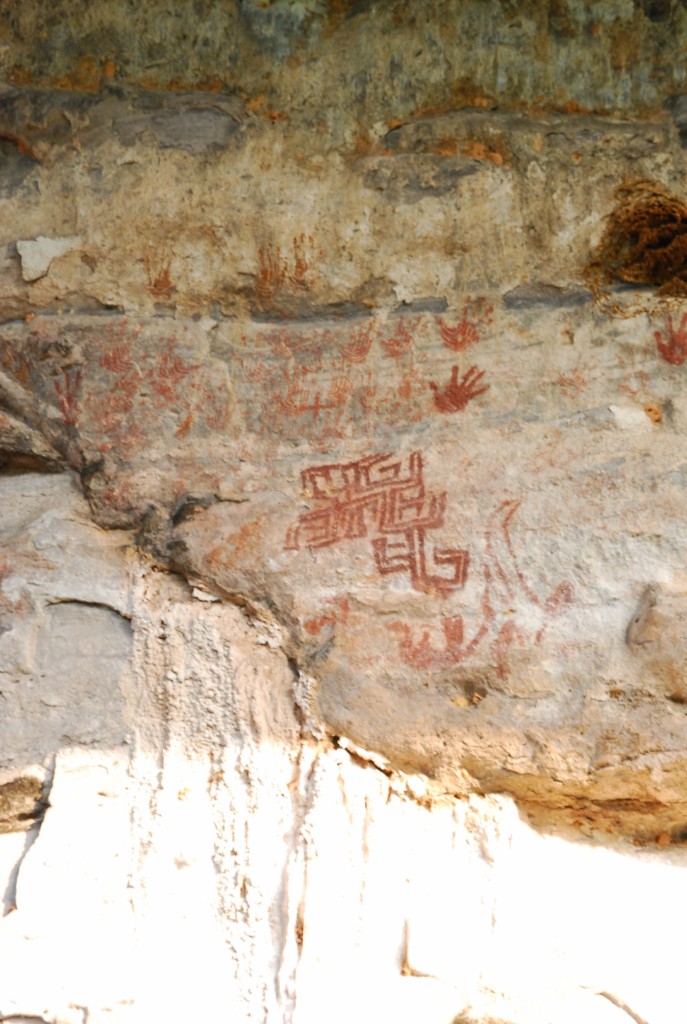
Most of the forests are mixed deciduous forests and dry evergreen forests in various mountain ranges. There is a lot of valuable local wood such as Makha Mong, Makha Tae, Pradu, Rosewood, Phayung, Daeng, Takhianthong, Yang, Krabak, etc. There are many kinds of wildlife in these forest areas, especially at the Phu Sa Bua Mountain Range, a large forest area with rich water resources. Many kinds of wild animals can be found such as barking deer, wild boar, hyena, fox, palm civet, monkey, porcupine, chevrotain, marmot, bat, Phaya Lo pheasant, white-backed pheasant, jungle fowl, etc.
 Routes for place
(Not found)
Other Places...